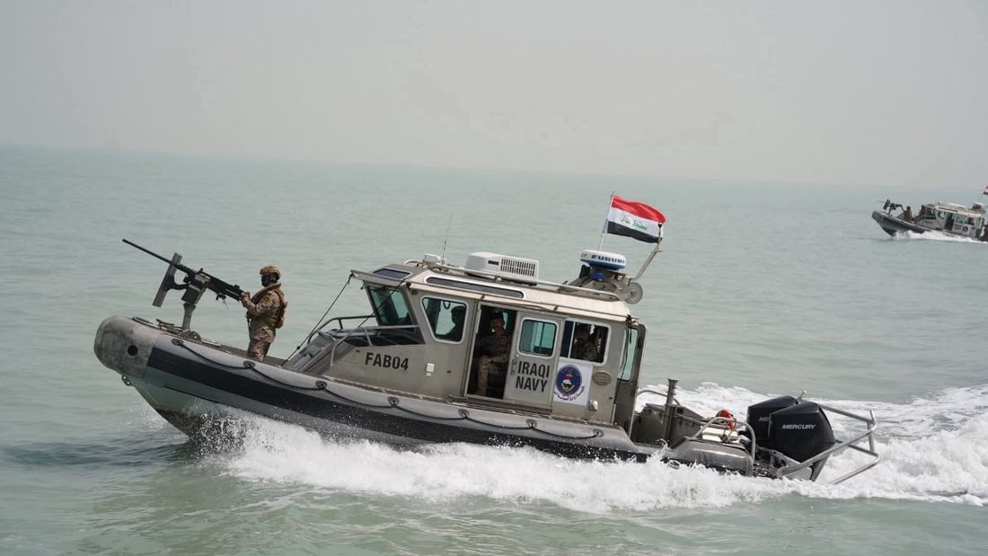
An Iraqi Navy patrol boat navigates territorial waters during a maritime security operation.
Gulf states back Kuwait over Iraq’s UN maritime filing
BAGHDAD — Bahrain, the United Arab Emirates, Saudi Arabia and Qatar on Sunday expressed solidarity with Kuwait over maritime coordinates and a map submitted by Iraq to the United Nations, saying the filing affects Kuwait’s sovereignty over certain maritime areas and fixed water elevations.
The four countries said Iraq’s deposited coordinates and map touch on Kuwaiti maritime areas and features such as Fasht al-Aij and Fasht al-Qaid. In Saudi Arabia’s case, they also affect parts of the submerged divided zone adjacent to the Saudi-Kuwaiti divided area. They rejected “any claims” affecting Kuwait’s sovereignty and called on Iraq to adhere to international law, including the 1982 U.N. Convention on the Law of the Sea, and to respect bilateral agreements.
Bahrain’s Foreign Ministry said it “rejects categorically any claims by other parties of sovereignty” over Kuwait’s maritime areas. The UAE affirmed its “full and unwavering solidarity” with Kuwait. Saudi Arabia cited U.N. Security Council Resolution 833 (1993), which delineated the land and maritime boundaries between Kuwait and Iraq. Qatar confirmed its support for Kuwait’s “full sovereignty over its maritime areas and water elevations.”
The statements followed Kuwait’s announcement Saturday that it had summoned the chargé d’affaires of the Iraqi Embassy to deliver an official protest note over Iraq’s deposit of baseline coordinates under the 1982 convention. Kuwait’s Foreign Ministry said the coordinates include “claims regarding Iraqi maritime areas” and affect Kuwait’s sovereignty over features such as Fasht al-Aij and Qaroh, which it said have not been subject to dispute.
Iraq’s Foreign Ministry announced it had deposited lists of geographic coordinates and an explanatory map with the U.N. secretary-general on Jan. 19 and Feb. 9, pursuant to the 1982 convention. The filing defines straight baselines and the limits of Iraq’s territorial sea, contiguous zone, exclusive economic zone and continental shelf.
The ministry said the deposit replaces previous filings dated Dec. 7, 2021, and April 15, 2011, and aims to update Iraq’s maritime data “in line with international law.” It reaffirmed Iraq’s commitment to international law and regional cooperation.